
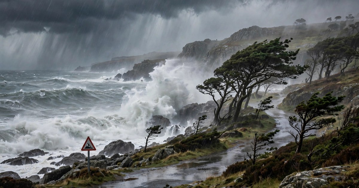
Storm Boelo is battering the UK and Norway this weekend, with the Met Office issuing amber wind warnings, six "act now" flood warnings, and gusts of up to 80mph in exposed coastal areas. Storm Boelo, trending per news coverage across Britain on Sunday 25 October 2026, is the second named storm to hit the UK in as many days, following Storm Austen, and it is now pushing eastwards towards Norway, where orange flood warnings are in force.
Forecasters say the worst of Storm Boelo's winds will sweep across Scotland, Northern Ireland and northern England through Sunday, accompanied by bands of heavy rain that have already caused surface-water flooding in parts of England and Wales. Transport operators warn of disruption to road, rail, air and ferry services, while thousands of homes face possible power cuts. Here is everything you need to know about Storm Boelo, the warnings in force, and how to stay safe.
What Is Storm Boelo and Where Is It Heading?
Storm Boelo is a deep Atlantic low-pressure system named under the UK, Ireland and Netherlands storm-naming scheme, which assigns names to storms expected to cause medium or high impacts. The system moved in from the Atlantic on Saturday 24 October, bringing a first band of heavy rain across England and Wales, before its strongest winds arrived over Scotland and Northern Ireland on Saturday night and into Sunday.
The storm's track takes it eastwards across the North Sea towards Norway, where it is expected to bring storm-force winds to exposed western coastal areas and heavy rain to the south of the country. Norwegian forecasters have warned of gusts of up to 35 metres per second in Hordaland, including around Bergen, and up to 37 metres per second in Rogaland. Ferry operator NorthLink, which runs services from Aberdeen to Orkney and Shetland, has warned of possible disruption from Saturday 24 October through Thursday 29 October as the unsettled pattern continues.
Storm Boelo follows Storm Austen, which struck the UK just a day earlier, meaning saturated ground and already-swollen rivers are adding to the flood risk. When rain falls on ground that cannot absorb more water, it runs off quickly into drains and rivers, which is why forecasters are warning of surface-water flooding even in areas that have not seen the heaviest rainfall totals.
Storm Boelo UK Warnings: Amber Wind Alerts Explained
The Met Office has issued two amber wind warnings for Storm Boelo, its second-highest warning level, meaning there is a higher likelihood of significant disruption. The first amber warning covers County Antrim and County Londonderry in Northern Ireland until 10am on Sunday, with widespread gusts of 60 to 70mph and gusts to 80mph in exposed coastal areas.
The second amber warning covers Scotland and parts of northern England, including Northumberland and Cumbria, until 9pm on Sunday. The Met Office says very strong westerly winds associated with Storm Boelo will bring fairly widespread gusts of 60 to 70mph, reaching 80mph on exposed coasts, with the strongest winds initially affecting western Scotland on Saturday evening before spreading eastwards overnight and through Sunday. The winds will gradually ease from the south-west through Sunday evening.
Yellow wind warnings are also in force more widely, covering all of Northern Ireland, all of Scotland and northern England, and parts of north-east England, the Midlands, north Wales and Yorkshire. The Met Office warns that flying debris could cause injuries and danger to life, that tiles may be blown from roofs and large branches or trees blown over, and that some roads and bridges may close.
Storm Boelo Flood Warnings: Six "Act Now" Alerts in Force
Alongside the wind warnings, six "act now" flood warnings have been issued across the UK, the most serious category of flood alert, meaning flooding is expected and immediate action is required. The six warnings cover the Irish Sea at New Brighton; Lee's Bridge at Astley Bridge Central; the Cumbrian coastline from St Bees Head to Haverigg and from North Head to Haverigg; the Cumbrian coastline from Silloth to St Bees, between Allonby and Whitehaven; the same coastline including Maryport, Flimby, Workington and Whitehaven; and the coastline from Gretna to Silloth including Port Carlisle, Skinburness and Rockcliffe.
A yellow rain warning was also in force from 11am to 11pm on Saturday across much of England and Wales, including the South West, South East, North West, Wales and parts of the Midlands and North Yorkshire. The Met Office said 25 to 30mm of rain was expected widely, with 50 to 60mm possible in upland areas, some of it falling within six hours. A further intense band of heavy rain was expected to follow from the west before the system cleared eastward.
The Scottish Environment Protection Agency has warned of an elevated risk of river, surface-water and coastal flooding, particularly around the Firth of Clyde, which may continue into next week. Residents in flood-prone areas are advised to check their flood risk, prepare a flood plan and keep an emergency flood kit ready.
Storm Boelo in Norway: Orange Flood Warnings and 37 m/s Gusts
As Storm Boelo crosses the North Sea, Norway is bracing for its own severe impacts. Norwegian forecasters have issued orange flood and landslide warnings for parts of eastern Norway, while yellow warnings cover heavy rain in Rogaland and Agder, where local downpours of 20mm in a single hour are possible, along with lightning.
MET Norway expects high waves and strong coastal winds, with water levels elevated along the west coast. Southern Norway faces the greatest flooding and landslide risk, and coastal communities are advised to stay alert. In Oslo, severe flood warnings are in place from Sunday morning until Monday morning, with moderate wind warnings also active, and rain expected to continue through the start of the week.
The Norwegian warnings underline how a single Atlantic storm system can affect several countries in turn. The same pattern has played out repeatedly this autumn in Europe: a deep low crosses the UK, then drives heavy rain and strong winds into Scandinavia, where steep terrain and saturated catchments turn rainfall into fast-rising rivers.
Travel Disruption, Power Cuts and Premier League Impact
Transport Scotland has warned that road, rail, air and ferry services may be affected by Storm Boelo, with longer journey times, cancellations and restrictions on bridges and exposed routes. Police Scotland has pointed to a high risk of disruption, and Transport Scotland is running a resilience room for the duration of the storm. Fallen trees and localised power cuts are also possible, and the Met Office warns that power cuts could affect other services such as mobile phone coverage.
Motorists are advised to check conditions before travelling, allow extra time, and consider delaying non-essential journeys until conditions improve. Drivers crossing exposed bridges or coastal routes should be prepared for sudden gusts, spray and standing water, which can make stopping distances much longer.
Storm Boelo has also put the sporting weekend at risk. Premier League fixtures were flagged for possible postponement as the storm threatened travel disruption for fans and teams, with clubs and broadcasters monitoring conditions through the weekend. Anyone travelling to a match is advised to check with their club and transport operator before setting out.
How to Stay Safe During Storm Boelo
Forecasters and emergency services advise people in warning areas to secure loose objects in gardens and on balconies, such as bins, garden furniture and trampolines, which can become dangerous projectiles in 70 to 80mph gusts. Avoid walking or driving through floodwater, which can be deeper and faster-flowing than it looks, and never drive through a flooded road if the water level is uncertain.
Keep phones charged in case of power cuts, and keep a torch, warm clothing, drinking water and essential medication accessible. If you live in a flood-risk area, move valuables and electrical items upstairs where possible, and know how to turn off gas, electricity and water supplies. Check on elderly or vulnerable neighbours, and keep up to date with the latest Met Office warnings and local flood alerts, as warnings can change quickly while a storm is in progress.
Storm Boelo is expected to clear eastwards by late Sunday, but forecasters warn that further unsettled weather is likely through the coming week, with ferry disruption possible into Thursday. The storm is a reminder that autumn is the peak season for Atlantic storms in northern Europe, and that warnings should be taken seriously even when the sky looks calm between rain bands.
For context on how the UK and Europe handle severe weather, see our guides to Storm Adam's deadly flooding in eastern Spain, Storm Austen's floods in southern France, and how Ireland's storm warnings work. For northern Europe more broadly, our Denmark weather and storms guide explains the warning systems used across the region.
Sources: Met Office warnings reported by BBC, Hello Rayo, BritBrief and Thames Compass; MET Norway warnings via Nordweather and Varsom; Transport Scotland; NorthLink Ferries.