
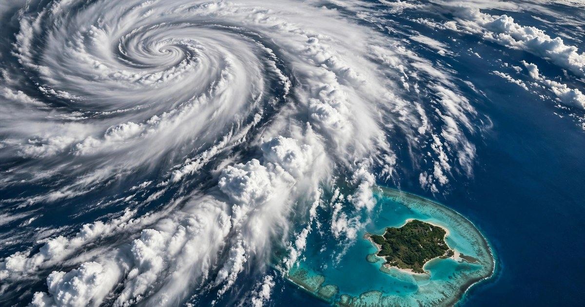
Guam and Rota are under a Typhoon Warning as Tropical Storm Champi bears down on the Mariana Islands, and forecasters are urging residents to use the remaining hours before the weekend to finish preparations. The US National Weather Service in Guam upgraded the warning on Friday afternoon, 16 October 2026, as Champi continued moving west and strengthening over warm Pacific waters. The storm is expected to pass over or near northern Guam on Sunday morning as a Category 2 or 3 typhoon, bringing destructive winds, torrential rain, dangerous surf and possible coastal flooding. The story is trending per news coverage, with weather agencies, local emergency officials and international outlets all tracking the same fast-developing threat.
The warning is not a routine advisory. A Typhoon Warning means typhoon-force winds of 74 mph or greater are expected within the area, not merely possible. Guam had earlier been under a Typhoon Watch, which signals that such conditions could develop. The upgrade to a warning reflects growing confidence among forecasters that Champi's core will come close enough to deliver serious impacts, even though the exact track can still shift. For an island community that has faced powerful storms before, the message from officials has been consistent: prepare for a direct hit, and hope the track shifts in a kinder direction.
Where Champi is now and where it is headed
At the National Weather Service's 1 p.m. forecast on Friday, Champi was located at 11.3 degrees north latitude and 154.0 degrees east longitude, about 590 miles east-southeast of Guam, and moving west at about 24 mph. Earlier that morning, at around 7 a.m. Chamorro Standard Time, the storm was roughly 750 miles east of Guam, moving west-northwest at about 12 mph with maximum sustained winds near 45 mph. The storm's forward speed and position have been updated through the day as new satellite data and model runs come in, which is normal for a developing tropical cyclone still hundreds of miles from land.
The most important change in the forecast has been the southward shift in Champi's track. Earlier projections kept the storm's centre further north; the latest track takes it directly over or very near Guam. Forecasters caution that the track could still shift again, and even a relatively small change could significantly affect which islands experience the strongest winds and heaviest rainfall. That is why officials keep repeating the same advice: do not focus on the exact forecast line. The storm's dangerous winds, rain and seas extend well beyond its centre, and the islands on either side of the track should prepare for serious weather.
Champi is expected to strengthen steadily as it approaches. The National Weather Service expects it to become at least a Category 1 typhoon before reaching the region, with a higher likelihood of it being stronger. At the Friday briefing, forecasters said Champi was expected to pass over northern Guam as a Category 2 or 3 typhoon on Sunday morning. The Joint Typhoon Warning Center had earlier assessed Champi at about 35 knots, with sea-surface temperatures of 29 to 30 degrees Celsius, abundant atmospheric moisture and moderate wind shear — conditions described as favourable for strengthening. Warm ocean water is the fuel of a tropical cyclone, and the western Pacific in mid-October still has plenty of it.
What warnings are in effect
As of Friday afternoon, Guam and Rota were under a Typhoon Warning, while Tinian and Saipan were under Tropical Storm Warnings, with a Typhoon Watch also in place for Saipan and Tinian in earlier advisories. A Flood Watch covers Guam, Rota, Tinian and Saipan through Sunday afternoon, reflecting the heavy rainfall expected across the whole island chain. Marine warnings are also in effect for the surrounding coastal waters, with typhoon conditions possible at sea within 48 hours.
Guam Governor Lourdes A. Leon Guerrero placed the island in Condition of Readiness (COR) 2, effective at 1 p.m. on Friday, and the Joint Information Center was partially activated. Joint Region Marianas and its installations declared Tropical Cyclone Condition of Readiness (TCCOR) 2 at approximately the same time. In Guam's readiness system, COR 2 means destructive winds are possible within 24 hours and that preparations should be well underway or near completion. It is the stage at which residents are expected to have secured their homes, stocked supplies and settled on a safe place to ride out the storm — not the stage to begin planning.
The timing of the hazards matters as much as the categories. Forecasters expect fair weather on Saturday morning, with conditions beginning to deteriorate as the day goes on. Tropical-storm-force winds are forecast to begin affecting the area on Saturday evening, with typhoon-force winds possible on Sunday morning through Sunday afternoon. The heaviest rain is expected from Saturday night through Sunday. Dangerous seas could continue into Monday, even after the centre has moved past the islands.
Rain, surf and storm surge: the three water threats
Wind gets the most attention in a typhoon, but water is often the greater killer — and Champi brings all three water hazards at once.
Rainfall. The National Weather Service forecasts storm-total rainfall of 6 to 12 inches (152 to 305 mm) across parts of the Mariana Islands, with torrential rain on Saturday night and Sunday. That volume of rain can cause flash flooding in urban areas, overflow streams and drainage channels, and make steep slopes unstable. Residents in low-lying and flood-prone areas should be ready to act quickly if Flash Flood Warnings are issued, and should not attempt to drive through flooded roads.
Surf. Surf is forecast to build from around 3 to 5 feet on Saturday to 7 to 9 feet on Saturday evening, then become extremely dangerous at 15 to 20 feet on Sunday morning. Some marine forecasts put significant wave heights even higher during Champi's closest approach. All reefs could be affected, and forecasters say it is too early to determine which coastlines will experience the greatest effects. A High Surf Warning runs from Saturday evening through early Monday, and a Coastal Flood Watch is in effect over the same period.
Storm surge and wave runup. Depending on Champi's exact location as it moves through the Marianas, storm-surge inundation of 2 to 3 feet is possible in vulnerable coastal areas, with wave runup — water driven up and over beaches and seawalls by breaking waves — potentially reaching 12 feet in places. The National Weather Service notes that inundation could exceed 3 feet near the centre of the storm. Impacts will vary sharply by location, which is why residents in surge zones and flood-prone areas are urged to identify a safe place to relocate, such as the sturdy home of family or friends outside evacuation zones.
How to prepare in the remaining hours
Emergency officials have laid out a clear checklist, and the window for completing it is closing. Cover windows and doors with shutters or plywood. Bring in loose outdoor items — tents, canopies, tarps, bins, garden furniture — anything the wind can turn into a projectile. Brace garage doors, which are a common failure point in high winds. Clear debris blocking drainage, especially if you live near a river, stream or flood-prone area. Make any trips to the hardware store, grocery store or petrol station as early as possible, rather than waiting until roads and shops are crowded or closed.
At the Friday briefing, National Weather Service forecaster Landon Aydlett urged residents to use the next 48 hours wisely, to take action, plan, prepare, secure their homes, and make sure their families have a plan. He advised people to use typhoon shutters, to secure loose items, and to find safe shelter — whether an evacuation shelter or the reinforced concrete home of family or friends — if their own home is not sturdy enough. Officials also note that pets are generally not allowed in most public shelters, so pet owners should check ahead with their intended shelter rather than assuming they can bring animals inside.
Travellers should also pay attention. Airport authorities have urged passengers with flights scheduled for 17 to 19 October to check directly with their airline before leaving for the airport, especially if connecting through Guam to other Pacific destinations. Travel disruption was already a theme across the wider region this week, as covered in Worldlession's report on the Italy flight disruption, and a typhoon passing over a Pacific hub can strand passengers quickly. Anyone with weekend travel plans in the Marianas should expect delays and cancellations, and should not travel to the airport during the worst of the storm to ask about rebooking.
Why Champi is strengthening — and why forecasts can still change
Tropical cyclones strengthen when three ingredients line up: warm ocean water, moist air, and low vertical wind shear — the change in wind speed and direction with height, which can tear a storm apart if it is too strong. In Champi's case, sea-surface temperatures near 29 to 30 degrees Celsius, abundant moisture and only moderate shear have given the storm room to organise and intensify. That is also why forecasters warn that Champi could strengthen more rapidly than currently forecast. Rapid intensification — a sharp jump in wind speed over 24 hours — is one of the hardest things to predict in tropical meteorology, and it is the reason officials build a margin of safety into their warnings.
It is equally important to understand what a forecast is not. A forecast track is the centre line of a cone of possible paths, not a precise road the storm will follow. The strongest winds are near the centre, but damaging winds, heavy rain and dangerous seas extend far outward. A shift of even a few dozen miles can move the worst conditions from one island to another. That uncertainty cuts both ways: Guam could end up with a glancing blow instead of a direct hit, or the core could pass closer than currently expected. The correct response to that uncertainty is not to wait for certainty — it is to prepare for the plausible worst case while the weather is still calm enough to do so.
The western Pacific has been unusually active this season, with multiple systems churning at once. While Champi heads for the Marianas, Hurricane Trudy has been threatening Mexico's Pacific coast in the eastern Pacific, and the same week brought a reminder of how early-warning systems can fail: a major earthquake near Kamchatka triggered a false magnitude 9.9 warning across large parts of Japan, as covered in Worldlession's report on the Kamchatka earthquake and Japan's false alert. Champi's warning chain — from satellite detection to the National Weather Service to Guam's Joint Information Center — is the system working as designed, but it only helps if residents act on it.
What to watch next
Three things will determine how this weekend unfolds. First, the next National Weather Service local statements, which will update Champi's position, intensity and track — residents should follow official announcements for any shelter openings or evacuation orders. Second, whether Champi's intensification stays on the forecast pace or accelerates; a stronger storm arriving sooner would compress the preparation window. Third, the track: a southward or northward wobble in the next 24 hours will decide whether Guam takes a direct hit or a near miss, and which of the northern Mariana islands sees the worst conditions.
For now, the message from Guam's emergency officials is simple and consistent: preparations should be well underway or near completion, and anyone in a vulnerable home or flood-prone area should already know where they will go if conditions worsen. The storm will not wait for the forecast to become certain. Sources: US National Weather Service Guam; Guam Homeland Security / Office of Civil Defense Joint Information Center (ReliefWeb); Isla Public / NWS briefing; Reuters syndication; The Watchers (per news coverage, 15-16 October 2026).
Champi went on to slam into Taiwan as a super typhoon, leaving one person dead and 94 injured as the historic storm shut down much of the island.