
What Is Happening With Hurricane Trudy?
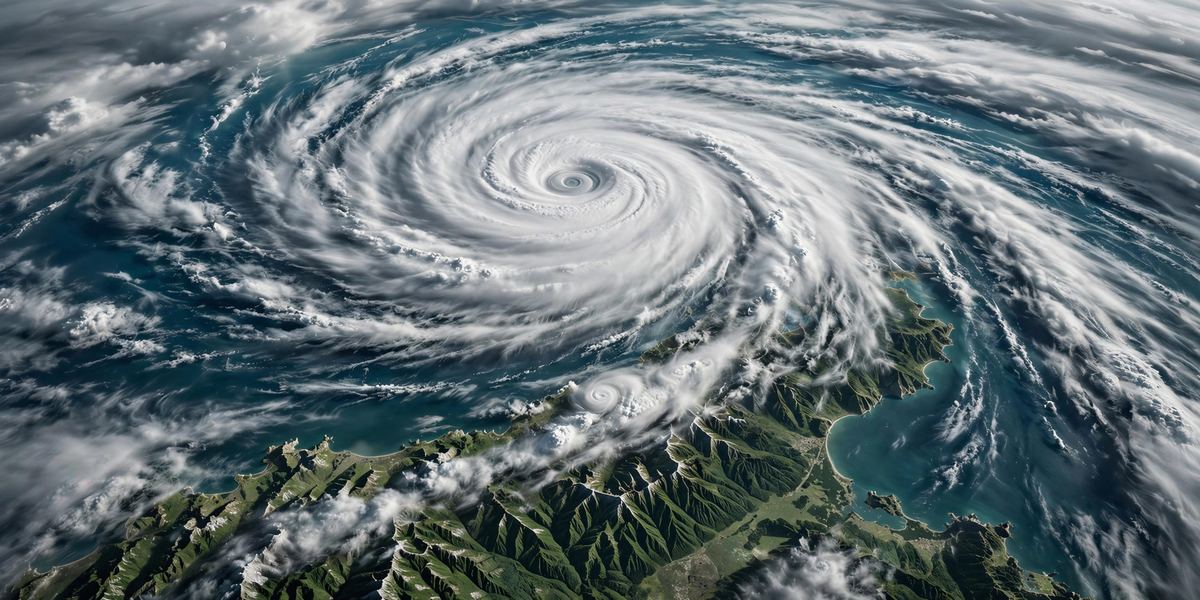
Hurricane Trudy is strengthening fast off Mexico's Pacific coast, and forecasters expect it to become a major hurricane before the weekend is over. The storm, which began life as a tropical depression on October 13, 2026, became a hurricane in the early hours of Thursday, October 15, and has been gaining power ever since. According to the US National Hurricane Center (NHC), Trudy packed maximum sustained winds of 90 mph (145 km/h) by Thursday evening, with higher gusts, and was moving slowly north-northwest a few hundred miles off the coast near Acapulco.
What makes Trudy stand out is not just where it is going, but how quickly it is getting stronger. In roughly 24 hours, its winds climbed from around 60 mph to 90 mph, and an eyewall — the ring of the fiercest winds around a hurricane's centre — had begun to form. The NHC forecasts rapid intensification to continue, with Trudy expected to reach major hurricane strength, Category 3 or higher, on Friday, October 16. Its forecast peak is around 145 mph, which would make it a powerful Category 4 storm, before it begins to weaken as it moves closer to the coast over the weekend.
Trudy is trending per news coverage across international outlets, with Reuters, USA TODAY and weather services tracking each advisory. The reason for the attention is straightforward: a major hurricane approaching a densely populated coastline that has already been battered by storms in recent weeks is a serious threat, even if the centre of the storm never comes ashore.
Where Trudy Is Now and Where It Is Heading
In its Thursday evening advisory, the NHC placed Trudy's centre about 265 miles (425 km) south-southwest of Acapulco, Mexico, moving north-northwest at around 6 mph. Earlier in the day, the storm had been roughly 480 km south-southwest of the same city with winds of 75 mph — a sign of how quickly the picture has changed.
The forecast track takes Trudy parallel to Mexico's southwestern coast before turning it toward the northwest as the weekend approaches. The NHC expects the storm to approach the coast of southwestern and west-central Mexico this weekend, with the states of Colima and Jalisco squarely in the zone of concern. Some forecast discussions have pointed to the stretch of coast near Manzanillo and the Jalisco coast toward Cabo Corrientes as the area to watch most closely, although the NHC itself cautions that confidence in the track and intensity drops after about 48 hours, because the storm's path runs so close to land.
Mexico has issued a Tropical Storm Watch for part of the southwestern coast, from Punta San Telmo to Zihuatanejo, and forecasters say additional watches and warnings are likely further up the coast as Trudy closes in. A watch means tropical storm conditions are possible within about 48 hours; a warning, if one is issued, would mean they are expected.
Why Rapid Intensification Matters
"Rapid intensification" is a term forecasters use when a tropical cyclone's winds increase by at least 35 mph in 24 hours. Trudy has already cleared that bar, and the NHC expects the process to continue into Friday. Rapid intensification happens when a storm sits over very warm ocean water, faces little wind shear (the change in wind speed and direction with height that can tear a storm apart), and has moist air feeding into it. The eastern Pacific off Mexico ticks all three boxes at this time of year, which is why storms there can explode in strength with little warning.
This matters because rapid intensification compresses the time communities have to prepare. A storm that looks manageable on Wednesday can be a major hurricane by Friday. It also makes forecasting harder: even the best computer models struggle to predict exactly how strong a rapidly intensifying storm will get, which is why the NHC has flagged lower confidence in Trudy's intensity forecast beyond the next two days.
To put the numbers in context, the Saffir-Simpson scale rates hurricanes from Category 1 (74–95 mph) to Category 5 (157 mph or higher). A "major hurricane" is Category 3 or above, starting at 111 mph. Trudy, currently a Category 1 storm at 90 mph, is forecast to reach about 145 mph — solidly in Category 4 territory — before weakening to around 105 mph by Sunday and dropping back to tropical storm strength early next week.
The Biggest Threat: Water, Not Just Wind
Although wind speeds dominate headlines, the NHC's key messages for Trudy focus heavily on water. Heavy rainfall associated with the storm is expected to affect the southwest Mexican coast from Guerrero to Jalisco through the weekend. Forecasters expect 4 to 8 inches (100–200 mm) of rain across Colima and Jalisco, with isolated totals of up to 12 inches (300 mm) in some spots. That volume of rain, falling on the steep terrain of Mexico's coastal mountains, can trigger life-threatening flash flooding and mudslides.
Mudslides are a particular danger in this region. When intense rain soaks hillsides, whole slopes can give way, burying roads and homes with little warning. Areas that have already seen heavy rain in recent weeks are more vulnerable, because saturated soil has less capacity to absorb more water.
Then there is the sea itself. Large swells generated by Trudy are expected to begin affecting portions of Mexico's southwestern coast from Friday and continue through the weekend. These swells can produce life-threatening surf and rip currents, even far from the storm's centre and even on days when the weather onshore looks deceptively calm. Forecasters urge beachgoers to stay out of the water where warnings are in effect, and to respect lifeguard instructions.
Storm surge — the rise in sea level pushed ashore by a hurricane's winds — is also a risk if Trudy moves closer to the coast, particularly in low-lying coastal areas and bays. The NHC has said there is an increasing risk of wind, rain and storm surge impacts as the storm approaches the coast this weekend.
A Coast Already Battered This Season
Trudy is not arriving in isolation. Mexico's Pacific coast has already endured a punishing stretch of storms in recent weeks, with severe flooding and several deaths reported. One of the earlier storms, Hurricane Simon, dropped heavy rain along the coast as a hurricane before weakening. Simon was still lingering offshore as a nearly stationary tropical storm while Trudy strengthened, and forecasters expected it to drift northwest and graze the Baja California peninsula over the weekend — meaning two tropical systems were active off Mexico's Pacific coast at the same time.
Back-to-back storms compound the damage. Flooded rivers stay high, reservoirs and drainage systems remain full, and emergency services get little rest between events. The same communities that were cleaning up after Simon now face the prospect of Trudy's rain falling on ground that is already saturated. That is one reason forecasters and Mexican authorities have been urging residents in Guerrero, Colima and Jalisco to take Trudy seriously even before any landfall.
Read our earlier coverage of the season's other major Pacific storm: Hurricane Simon Becomes Category 4 Threat Off Mexico's Pacific Coast. For a sense of how quickly hurricanes can escalate in this basin, see also Hurricane Isaias Hits Florida: 4 Dead, 670,000+ Without Power.
What the Forecast Shows Day by Day
According to the NHC's forecast, Trudy's strength is expected to follow this rough timeline:
- Thursday night (Oct 15): Category 1, around 110 mph, still offshore south of Acapulco.
- Friday (Oct 16): Rapid intensification to a major hurricane, around 130 mph.
- Saturday (Oct 17): Forecast peak near 145 mph (Category 4), approaching the coast of southwestern Mexico.
- Saturday night into Sunday (Oct 18): Still a major hurricane at around 140 mph, then weakening to about 105 mph as it nears the Jalisco coast.
- Monday–Tuesday (Oct 19–20): Weakening to a tropical storm, around 60–65 mph, as it moves along or away from the coast.
These figures are forecasts, not guarantees. The exact track matters enormously: a shift of even 50 miles could determine whether the strongest winds stay offshore or come ashore. The NHC updates its advisories every few hours, and anyone in the affected region should follow the latest official forecast rather than relying on a single track map.
Echoes of Past Storms — Including Patricia
Comparisons with Hurricane Patricia in 2015 are already circulating in coverage of Trudy, and they are worth treating with care. Patricia remains the strongest hurricane ever recorded in the Western Hemisphere, peaking at 215 mph before striking Mexico's Pacific coast. Trudy, at a forecast peak of around 145 mph, is not expected to reach anything like that intensity. What the comparison does capture is the shared ingredient: the eastern Pacific's capacity to take a storm from modest to monstrous in a day or two when conditions align.
The name Trudy itself has history in this basin. In October 2014, a Tropical Storm Trudy made landfall in Mexico, bringing torrential rain to Guerrero and Oaxaca that triggered flash floods and mudslides, prompting authorities to open dozens of shelters. That storm never reached hurricane strength, but it was a reminder that rainfall, not category, is often what does the most damage in Mexico's mountainous coastal states.
What Residents and Travellers Should Do
For people living in Guerrero, Colima, Jalisco and neighbouring coastal states, the official advice is consistent: monitor the NHC's advisories and follow instructions from Mexico's civil protection authorities. Practical steps include reviewing evacuation routes, securing loose outdoor items, charging phones, storing clean drinking water, and keeping important documents in a waterproof place. People in flood-prone or hillside areas should be ready to move to higher ground or to a shelter if authorities order evacuations.
One of the most repeated safety messages is also one of the simplest: never walk or drive through floodwater. As little as six inches of fast-moving water can knock a person off their feet, and two feet can sweep a vehicle away. Floodwater can also hide debris, open drains and downed power lines.
Travellers with plans on Mexico's Pacific coast — including resort areas such as Acapulco, Manzanillo and Puerto Vallarta — should check directly with airlines, hotels and local authorities for operational updates, and follow instructions from hotel management and civil protection. Boat excursions, fishing trips and other marine activities may be affected by swells and rough seas, and swimming should be avoided where warnings are in effect. Flight disruptions should not be assumed in advance, but conditions can change quickly, so checking before travelling is essential.
How Forecasters Track a Storm Like Trudy
Behind each NHC advisory is a mix of satellite imagery, computer models and, when a storm threatens land, flights by the US Air Force Reserve Hurricane Hunters, who fly directly into the storm to measure its winds, pressure and structure. During Trudy's rapid intensification, Hurricane Hunter aircraft were tasked with flying into the storm to sample the developing eyewall — data that feeds straight into the next forecast.
The NHC's "forecast cone" shows the probable path of the storm's centre, but it does not show the storm's full size or where its impacts will reach. The centre can travel outside the cone roughly a third of the time, and dangerous conditions extend well beyond it. That is why forecasters emphasise hazards — wind, rain, surge and surf — rather than a single line on a map.
Trudy's minimum central pressure was measured at around 979 millibars in Thursday's advisories. Lower pressure generally means a stronger storm, and falling pressure is one of the clearest signs of intensification. Forecasters watch that number closely alongside wind speed to judge how a storm is evolving.
What Happens Next
In the end, Trudy peaked below the forecast: it reached Category 3 strength, with maximum sustained winds of 120 mph, early on Friday, October 16, then weakened through the day as it stayed offshore. It later weakened to a post-tropical remnant low, and the National Hurricane Center issued its final advisory on the evening of Monday, October 19, when the remnant was about 160 miles west-southwest of Cabo Corrientes with maximum sustained winds near 35 mph and no coastal watches or warnings in effect.
The NHC will continue issuing advisories every few hours, and Mexican authorities will update watches and warnings as the storm's path becomes clearer. For now, Trudy stands as the latest reminder of how quickly a Pacific storm can go from a name on a map to a major hurricane — and why early preparation, not last-minute reaction, is what saves lives.
Frequently Asked Questions
What category is Hurricane Trudy?
As of the NHC's Thursday evening advisory on October 15, 2026, Trudy was a Category 1 hurricane with maximum sustained winds of 90 mph. It went on to peak as a Category 3 hurricane with maximum sustained winds of 120 mph on October 16 — below the forecast peak of around 145 mph — then weakened offshore. The NHC issued its final advisory on October 19, when Trudy was a 35 mph remnant low.
Will Hurricane Trudy make landfall in Mexico?
Trudy stayed offshore and did not come ashore as a hurricane. The NHC's final advisory on October 19 placed the remnant about 160 miles west-southwest of Cabo Corrientes, Mexico, with no coastal watches or warnings in effect and no hazards expected on land. Heavy rain, flooding, mudslides and dangerous surf affected the coast while the storm passed offshore.
Which areas of Mexico are most at risk from Trudy?
The states of most concern are Guerrero, Colima and Jalisco. Heavy rainfall of 4–8 inches, with isolated totals up to 12 inches, is forecast for Colima and Jalisco, with a risk of life-threatening flooding and mudslides, especially in steep terrain. A Tropical Storm Watch is in effect from Punta San Telmo to Zihuatanejo, with more watches likely.
What is rapid intensification?
Rapid intensification is when a tropical cyclone's maximum sustained winds increase by at least 35 mph in 24 hours. Trudy's winds rose from around 60 mph to 90 mph in about a day. It happens when a storm sits over very warm water with low wind shear and moist air, and it makes forecasting harder because the storm's strength can change faster than warnings can be updated.
How does Hurricane Trudy compare to Hurricane Patricia?
Hurricane Patricia (2015) peaked at 215 mph and remains the strongest hurricane ever recorded in the Western Hemisphere. Trudy is forecast to peak near 145 mph, well below Patricia. The comparison is useful mainly as a reminder that the eastern Pacific can produce explosive strengthening — not as a prediction that Trudy will match Patricia's intensity.
Sources: US National Hurricane Center (NHC) advisories and forecast discussion for Hurricane Trudy; Reuters reporting on the storm's approach to Mexico's Pacific coast; USA TODAY storm tracking coverage.
It is not the only major storm to threaten Mexico's Pacific coast this season: Tropical Storm Vance is strengthening offshore and is forecast to become a major hurricane.