
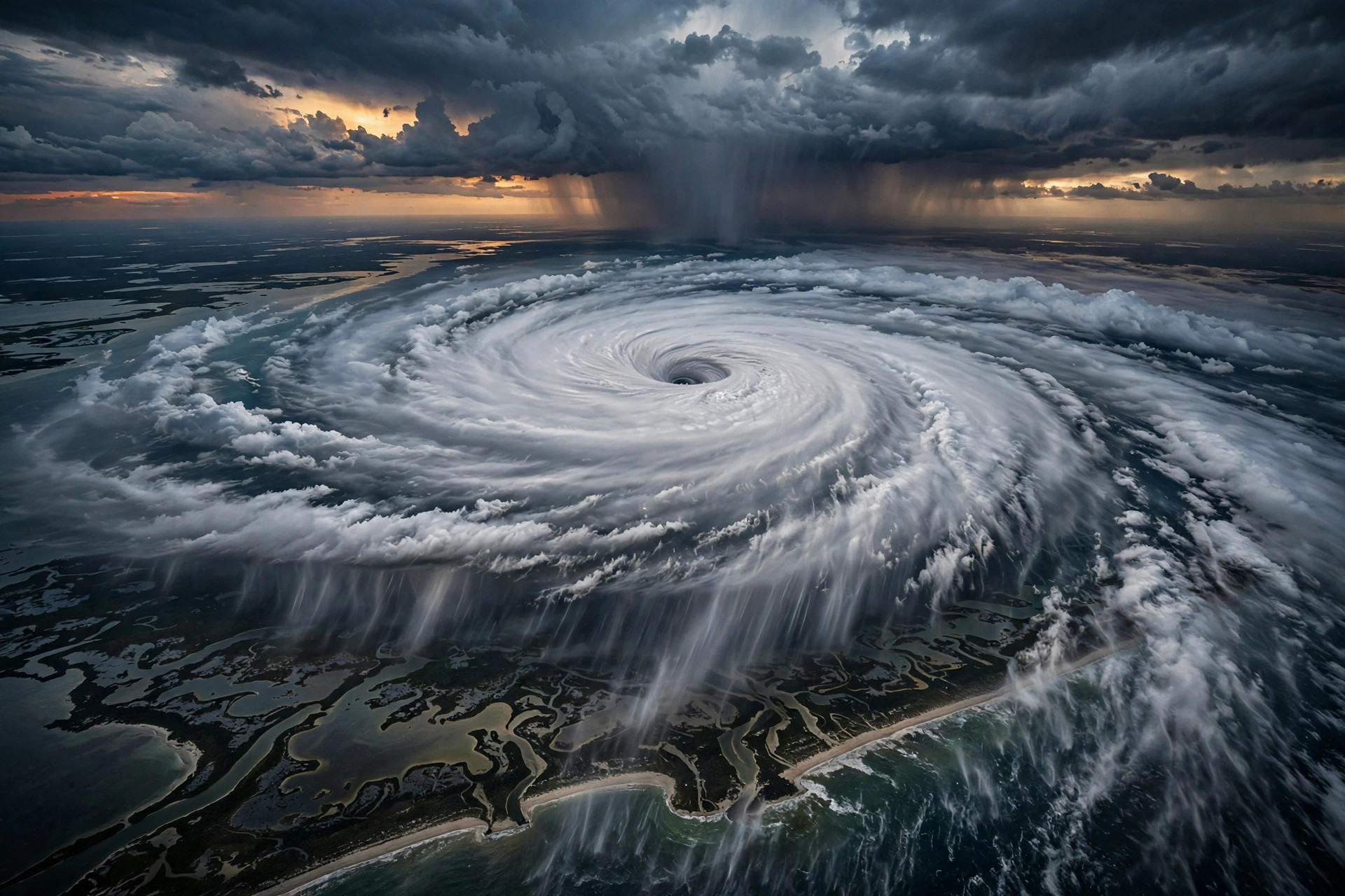
On Friday, 9 October 2026, Hurricane Isaias made landfall near Destin, Florida, at around 9:30 pm Eastern Time as a Category 2 hurricane with sustained winds of 105 mph. Within hours, the storm had killed four people, hospitalised more than five, and knocked out power to over 670,000 customers across five southeastern states. It is a sobering reminder that even storms that weaken quickly after reaching land can still turn deadly, and that the dangers often extend far beyond the beachfront where the winds first hit.
What Is a Hurricane — and What Does Category 2 Mean?
A hurricane is a large, rotating storm system that forms over warm tropical and subtropical ocean waters. It draws energy from the heat and moisture of the sea, spinning around a low-pressure centre — the calm eye — with the strongest winds and heaviest rain wrapped around it in a ring called the eyewall. When such a storm reaches land, it loses its fuel source and weakens, but it can still carry destructive winds, torrential rain and storm surge a long way inland.
Hurricanes are ranked on the Saffir-Simpson Hurricane Wind Scale, which runs from Category 1 to Category 5 based purely on sustained wind speed. A Category 2 storm has sustained winds of roughly 96 to 110 mph — strong enough to cause extensive damage, including uprooting large trees, tearing roofs from homes and destroying power lines. Isaias made landfall at 105 mph, squarely in the middle of this range. Crucially, the scale measures wind only. It says nothing about rainfall, storm surge or the flooding a storm can unleash, which is why water-related hazards frequently cause more deaths than the wind itself. Warmer ocean waters can fuel more intense tropical storms, which is one reason scientists study how climate change affects weather extremes.
What Happened When Isaias Made Landfall
Isaias struck the Florida Panhandle at around 9:30 pm Eastern Time on Friday, 9 October 2026, near Destin. The highest wind gust reported was 117 mph on Santa Rosa Island, a barrier island just offshore, while Whiting Field near Milton recorded a 114 mph gust. These peak gusts explain why the damage was so severe even though the storm's sustained winds measured 105 mph at the moment of landfall: gusts are brief, violent bursts of wind that do the bulk of the breaking, toppling and tearing.
Overnight, as the system pushed inland and lost contact with the warm waters feeding it, Isaias weakened into a post-tropical cyclone with winds of around 65 mph. A post-tropical cyclone is a former tropical storm that has lost its tropical characteristics — it no longer has the warm core or the tidy spiral structure — but it can still pack damaging winds and, more importantly, dump enormous amounts of rain far from where the original hurricane came ashore.
The Human Toll: Four Deaths and Widespread Blackouts
Four people were killed as a direct result of the storm. Three of the deaths were caused by falling trees, and one person died from generator fumes. More than five others were hospitalised. The details underline how indirect hazards, rather than the wind at the moment of landfall, are what most often claim lives during hurricanes.
In Birmingham, Alabama — well inland from the Florida coast — a man was killed when a tree fell on his home. In Escambia County, Florida, another person was pinned by a tree inside their own home at around 8:48 pm Central Time on Friday evening. Heavy rain soaks and loosens the soil around a tree's roots, and when gusts above 100 mph then strike, even large, healthy-looking trees can come down without warning, crashing through roofs and walls.
The fourth death came from generator exhaust. When the power fails, many households turn to portable generators, which produce large amounts of carbon monoxide — a colourless, odourless gas that can be lethal within minutes in an enclosed or poorly ventilated space. This is why emergency guidance consistently says generators must always be run outdoors, far from homes and windows, and never inside a garage, even with the door open.
At the same time, the storm knocked out electricity to more than 670,000 customers across Florida, Alabama, Georgia, North Carolina and Tennessee. An outage of that scale is not merely an inconvenience: it can cut off medical devices, refrigeration for food and medicine, communications and air conditioning, and restoring power across five states can take utility crews many days of hazardous work, especially where trees have brought down lines.
Why It Matters Beyond the Coastline
The geography of the impact is one of the most important lessons of this storm. Landfall was in the Florida Panhandle, yet a death occurred in Birmingham, Alabama, and blackouts stretched across Georgia, North Carolina and Tennessee. Once inland, a weakening storm's main weapon becomes rain, and its flood footprint can cover hundreds of miles.
That is why flood watches were issued for the southeastern United States and the southern Appalachians as Isaias's remnants moved north. Forecasters warned that parts of Georgia and the Carolinas could see up to 10 inches of rain. Ten inches of rain falling over a short period can turn creeks into rivers, wash out roads, trigger mudslides in hilly terrain and flood homes that have never flooded before. Inland flooding is one of the leading causes of hurricane-related deaths in the United States, and it often catches people by surprise precisely because the dramatic winds have already died down and the storm feels as though it has passed.
Key Facts About Hurricane Isaias
Isaias made landfall as a Category 2 hurricane with 105 mph sustained winds near Destin, Florida, at around 9:30 pm Eastern Time on Friday, 9 October 2026. The strongest gust recorded was 117 mph on Santa Rosa Island, with 114 mph measured at Whiting Field near Milton. The storm killed four people — three struck by downed trees and one by generator fumes — and hospitalised more than five. Over 670,000 customers lost power across Florida, Alabama, Georgia, North Carolina and Tennessee. By overnight, the system had weakened into a post-tropical cyclone with 65 mph winds, while flood watches extended across the southeastern US and the southern Appalachians, with up to 10 inches of rain possible in parts of Georgia and the Carolinas.
What Happens Next: Flood Watches and Recovery
In the days after the storm, the focus shifts from wind to water. Flood watches for the southeastern United States and the southern Appalachians mean residents in low-lying and flood-prone areas should be ready to move to higher ground quickly, avoid driving through flooded roads — it takes surprisingly little moving water to sweep a vehicle away — and keep away from swollen rivers and creeks.
For households still without power, the recovery phase carries its own risks. Utility crews must first clear fallen trees and repair downed lines before reconnecting customers, a process that can stretch for days after a storm affecting multiple states. Anyone using a portable generator should keep it at least 20 feet from the house, never operate it indoors or in a garage, and make sure working carbon-monoxide alarms are installed. Downed power lines should always be treated as live: stay well away and report them to the utility rather than attempting to move them.
Isaias's path from a 105 mph landfall in Florida to flood watches across the Appalachians is a textbook example of how hurricanes evolve and why their danger zone is far larger than the point where they first touch land. Understanding that evolution — the difference between a gust and a sustained wind, the meaning of a post-tropical cyclone, and the lethal potential of falling trees, carbon monoxide and rising water — is what turns a frightening news story into knowledge that can genuinely help people stay safer the next time a storm comes ashore.