
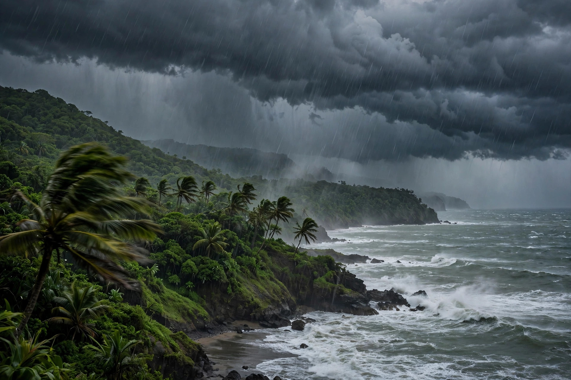
The Central America tropical low November 2026 has put Nicaragua, Costa Rica and Panama on alert for heavy rain this weekend, even though it is now unlikely to become a tropical cyclone. The US National Hurricane Center (NHC) gave it a 40 per cent chance of developing on 5 November, but by Saturday 7 November the NHC had lowered that chance to low for both the next 48 hours and the next seven days. The system has no name, no storm warnings are in force, and no tropical cyclone is active in the eastern Pacific. The danger is the rain itself: the NHC warns that heavy rainfall may lead to life-threatening flash flooding and landslides across parts of Central America through the weekend.
Central America tropical low November 2026: what the NHC says now
In its Tropical Weather Discussion issued at 1605 UTC on Saturday 7 November, the NHC said a broad area of low pressure centred off Costa Rica continued to produce a large area of showers and thunderstorms over the offshore waters, with storms also affecting areas from Nicaragua to Panama. Environmental conditions are only marginally favourable for further development over the next day or two, the NHC said, and strong upper-level winds are forecast to end formation chances early next week. The chance of tropical cyclone formation over the next 48 hours and through the next seven days is low. That is a clear step down from the NHC's outlook of 10 p.m. PST on Thursday 5 November, which gave the system a medium, 40 per cent chance over both 48 hours and seven days, after lowering the seven-day chance from 50 per cent earlier that day. The NHC's discussion placed the monsoon trough from the Nicaragua-Costa Rica border through a low of 1008 millibars near 10 degrees north, 91 degrees west. A tropical depression could still form over the weekend while the low drifts slowly offshore, the NHC said on 6 November, but upper-level winds should prevent further development after the weekend. The system should not be described as a tropical storm: at the time of the NHC updates, no tropical cyclone was active in the eastern Pacific, and the developing low is an unnamed disturbance, not a named storm.
Why the rain is the real danger
Whether or not the low develops, the NHC says it could bring areas of heavy rain to parts of Central America through the weekend. The NHC's discussion expected the heaviest rain over Nicaragua and Costa Rica, and warned that heavy rainfall may lead to life-threatening flash flooding and landslides. The risk is highest where steep ground meets saturated soil, and where rivers rise quickly after intense downpours. In Panama, the civil protection agency SINAPROC extended a rain prevention notice through 11:59 p.m. on Thursday 5 November, with forecast totals of up to 280 millimetres, about 11 inches, in parts of Chiriquí, Veraguas and Azuero, according to Infobae. In El Salvador, the environment ministry said the heaviest rain could come between the weekend and Monday 9 November. Costa Rica's National Meteorological Institute (IMN) expects rain with thunderstorms to continue over the weekend, according to Teletica, with the heaviest falls along the Pacific coast, particularly in the Northern Pacific region. The pattern is driven by more than the low alone: a tropical wave, a trough, the Intertropical Convergence Zone and coastal lows are all feeding moisture into the region, Infobae reported. The NHC's discussion also noted fresh to strong northerly gap winds in the Gulf of Tehuantepec on Friday night, increasing again on Sunday night as a cold front enters the southwest Gulf of Mexico, with gales possible on Monday night. For comparison with a Pacific storm that did develop this season, see Tropical Storm Vance, which peaked at 110 mph off Mexico in October, and Tropical Storm Rachel, which battered Southern California.
Central America tropical low November 2026: the country alerts
Costa Rica moved first. The national emergency commission (CNE) declared a nationwide green alert on 3 November, described as an informational and preventive phase, La Nación and Infobae reported. A green alert is the lowest level of alert, but it puts emergency committees on standby and tells the public to stay informed. In El Salvador, Civil Protection director Luis Alonso Amaya said the low represented a chance of impact rather than a confirmed impact, Diario El Salvador reported on 5 November, while the environment ministry warned of the heaviest rain between the weekend and Monday. Panama's SINAPROC rain prevention notice covered the western provinces most exposed to Pacific moisture. None of the reports cited by Orbis Weather described deaths or damage from the system as of 6 November. Travellers should note that Costa Rica's weather runs on a different rhythm from the northern hemisphere winter: the country has distinct dry and green seasons, explained in our Costa Rica weather guide. Anyone in the region should follow the instructions of the national services, the IMN and CNE in Costa Rica, and the NHC's outlooks, which are updated four times a day.
What happens next
The NHC will keep updating its Tropical Weather Outlook four times a day, at 4 a.m., 10 a.m., 4 p.m. and 10 p.m. PST, and the next outlooks will show whether the low's formation chance stays low or fades entirely as the strong upper-level winds arrive early next week. Even if the system never becomes a depression, the rain will be the story to watch through the weekend and into Monday, especially in Nicaragua, Costa Rica and western Panama. The eastern Pacific hurricane season runs until 30 November, and 2026 has already been an above-average year: the NHC counts 20 named storms, 10 hurricanes and 8 major hurricanes, against full-season averages of 15, 8 and 4 for 1991 to 2020. The most recent eastern Pacific storm was Hurricane Vance, which ran from 21 to 29 October. A separate system southeast of Hawaii, labelled CP95, had a high, 90 per cent chance of becoming a tropical cyclone, but it was forecast to pass well south of the Hawaiian Islands. Looking further ahead, NOAA's Climate Prediction Center said in its 8 October discussion that El Niño continues to strengthen, with a strong to very strong El Niño likely through January to March 2027, which can shift rainfall patterns across the region in the months ahead.
How to stay safe in heavy rain
Flash floods can develop in minutes, often at night, and a small amount of fast-moving water can sweep a person off their feet or stall a car. Never drive through flooded roads, and never walk through floodwater of unknown depth. Water covering a road can hide a washed-out surface, and turning around is always the safer choice. Travellers already in the region should check with their hotel or local authorities before setting out, and keep travel documents in a waterproof bag. In hilly areas, watch for signs of landslides: sudden changes in water flow, cracking ground, or trees tilting. Keep a charged phone, check the IMN and CNE updates before travelling, and follow any evacuation order immediately. If you are visiting Costa Rica's Pacific coast this weekend, expect afternoon and evening downpours and plan outdoor activities for the morning.
Sources: US National Hurricane Center (NHC), La Nación, Infobae, Teletica, Orbis Weather, November 2026.