
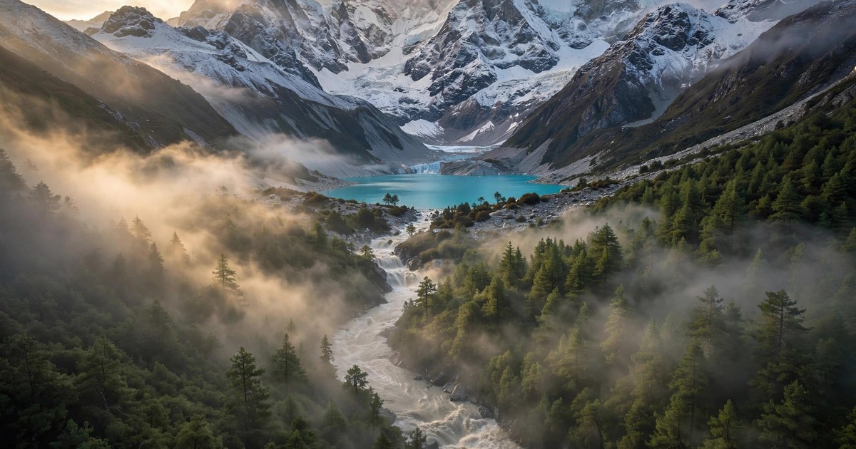
A Bhutan glacial lake outburst flood on the evening of Thursday 29 October 2026 sent a surge of water down the Mo Chhu river, washing away the Gasa Tshachu hot springs, damaging a stretch of national highway and forcing more than 10,000 people in northern India to move to safer ground. The flood began when Shintaphu Lake, a high-altitude glacial lake in Bhutan's remote Gasa district, suddenly released its water into the river system that flows south into India as the Sankosh. No deaths or injuries had been reported by Friday morning, 30 October, after the hot springs were evacuated before the water arrived, but disaster teams on both sides of the border remained on high alert as the surge moved downstream.
The incident is the latest reminder of a danger that runs through the whole Himalayan region. Glacial lakes form as warming temperatures melt glaciers, and when the natural dam holding one back fails, the water escapes in minutes. Bhutan alone has 567 glacial lakes, and 17 of them have been classified as potentially dangerous. The Shintaphu outburst is now a case study in how fast such a flood can travel, and how far its effects can reach.
What Happened in the Bhutan Glacial Lake Outburst Flood?
The Bhutan glacial lake outburst flood began on Thursday evening, 29 October 2026, at Shintaphu Lake, also spelled Sintaphu, below Wakila Mountain in Lungo, in the Laya Gewog area of Gasa district in northern Bhutan. The lake sits near the headwaters of the Mo Chhu river. Floodwaters reached Taktsemakhang, at the confluence of the Sintaphu Chhu and the Lungu Chhu, at around 8:15 pm on Thursday, and an artificial lake formed there as the surge piled up debris.
Indian media reports put the volume of water released at around 7.4 million cubic metres, roughly 7.4 billion litres, although Bhutanese authorities have not confirmed the precise volume, the mechanism of the lake's failure, or whether all of the reported water entered the river in the first surge. What is confirmed is the damage downstream. The flood washed away infrastructure at the Gasa Tshachu natural hot springs, a popular tourist destination, and the area had been evacuated before the water arrived, which is why no casualties were recorded. Bhutan's state broadcaster, Bhutan Broadcasting Service, reported that no deaths or injuries had occurred, and that the full extent of the damage was not yet known because of darkness and the strong flow of the floodwaters.
Two Bailey bridges, built from portable prefabricated sections, may also have been washed away. Part of the road leading to Laya village, where the hot springs are located, was washed away, making the route impassable, and the road has been closed to traffic indefinitely. A section of the Punakha-Gasa Secondary National Highway was completely washed away, and a solar-powered irrigation lifting system installed earlier in 2026 in the Dochhukha-Dzomlingthang-Ritsa area of Punakha was partially damaged. The Punatsangchhu-II Hydropower Project reportedly stopped power generation and opened its dam gates as a precaution against floodwaters and debris. Floodwaters also crossed Srigang in Kabesa Gewog, around eight kilometres from Punakha Dzong.
Bhutan's National Centre for Hydrology and Meteorology is monitoring water levels along the Mo Chhu at Tashithang and Yebisa. The Gasa Tshachu hot springs had been hit before, on 26 August 2021, when the swollen Mo Chhu changed course and swept through the area.
What Is a Bhutan Glacial Lake Outburst Flood?
A glacial lake outburst flood, known as a GLOF, happens when water stored in a glacial lake is suddenly released after the natural barrier holding it back collapses. That barrier is usually made of ice or loose rock and sediment left behind by a retreating glacier, known as a moraine. When it fails, the water rushes down steep mountain valleys in a matter of minutes, carrying enormous quantities of water, rocks and debris, and it can destroy roads, bridges, farmland and settlements far downstream.
Glacial lakes form as glaciers retreat and melt, leaving depressions that slowly fill with water. As temperatures rise, glaciers shrink faster and the lakes behind them grow larger, holding more water behind fragile natural dams. A heavy downpour, an earthquake, a landslide into the lake, or the slow weakening of the moraine can all trigger a breach. That is why a GLOF is so hard to predict precisely: the lake can look calm for years and then empty in a single evening.
A 2020 study published in Water Resources Research reviewed 329 glacial lakes in the Indian Himalayas and found that around 22 per cent posed high or very high hazard levels for an outburst and its downstream consequences. The danger is not limited to Bhutan. In August 2026, a flash flood near Nepal's border with China was reported to have killed more than 1,500 people and left over 5,000 missing, a toll that underlined how deadly Himalayan floods can be when they strike populated valleys.
Why the Sankosh River Flood Alert Reached India
The Bhutan glacial lake outburst flood became a cross-border emergency because of the river system it entered. The Mo Chhu flows south through Gasa and Punakha, where it meets the Pho Chhu to form the Punatsangchhu. That river then enters India as the Sankosh, flowing through West Bengal and Assam before joining the Brahmaputra. A flood that starts in a remote Bhutanese valley can therefore threaten towns and farmland hundreds of kilometres downstream.
India's Central Water Commission issued a special flood advisory on Thursday 29 October, after the incident was reported by the Indian Embassy in Bhutan. The advisory warned of a sudden rise in water levels in the downstream areas of Alipurduar district in West Bengal and Dhubri district in Assam, and said floodwaters were expected to reach the India-Bhutan border within six to eight hours. Local authorities along the river were told to stay alert, monitor the situation closely and take necessary precautions.
In West Bengal, Forest Minister Manoj Oraon alerted residents living along the Sankosh River in the Kumargram area of Alipurduar district late on Thursday, warning of possible flash floods. Residents of Kumargram tea estate, Kumargram forest village, Pakriguri and Bholka were urged to remain alert and move away from the riverbanks. Around 4,000 to 5,000 people were moved into temporary shelters, with school buildings converted into relief centres, while more than 6,000 others relocated to safer ground. Taken together, more than 10,000 people were evacuated or moved to safer ground in northern India. State Minister Nisith Pramanik said the water was expected to reach the plains within five to six hours of the warning, and disaster response teams were placed on standby.
In Assam, Chief Minister Himanta Biswa Sarma said the state government was closely monitoring the possible impact across vulnerable revenue circles in Dhubri and Kokrajhar districts, with disaster response teams on standby. According to the Assam State Disaster Management Authority, no evacuation had started in Dhubri or other districts of lower Assam as of Friday, and water levels in Assam's rivers had not risen so far. The National Disaster Response Force was notified, and its Director General, Piyush Anand, said the force was coordinating with all agencies concerned, including the Central Water Commission and the India Meteorological Department, and that teams had been alerted. He added that, according to the information received so far, there was no immediate cause for concern, but that the force remained on alert and prepared to respond if the situation worsened.
By Friday, officials said the intensity of the water flow had decreased slightly, but authorities remained on high alert. Some residents who had spent the night on a national highway began returning home on Friday morning, but many turned back to the relief camps when the river appeared increasingly muddy. October 2026 has been a month of flood emergencies elsewhere too: Cyclone Arnab tested India's east coast earlier in the month, and southern France recorded deadly flooding as Storm Austen crossed Europe.
Why Bhutan Has 17 Dangerous Glacial Lakes
Bhutan's mountainous terrain, its glaciers and its steep river valleys make it particularly exposed to glacial lake outburst floods. According to the country's National Centre for Hydrology and Meteorology, Bhutan has 567 glacial lakes, of which 17 have been classified as potentially dangerous. Shintaphu Lake is one of those 17. The lakes sit high in the mountains, often above populated valleys, so a breach sends water downhill with little warning and few places for it to spread safely.
Climate change is making the risk worse. As glaciers retreat, existing lakes expand and new ones form, storing more water behind moraines that were never engineered to hold it. That is a pattern seen across the Himalayas and beyond, and it is part of the same climate-linked disaster trend behind other events in Asia this year, including Indonesia's peatland wildfires, which choked Southeast Asia in haze. The 2020 study of 329 glacial lakes in the Indian Himalayas, which rated around 22 per cent as high or very high hazard, shows the scale of the exposure: the risk is not one lake, but a whole mountain range of them.
Monitoring has improved. Bhutan tracks water levels on the Mo Chhu at Tashithang and Yebisa, and early warnings did reach Indian authorities quickly enough for the Central Water Commission to issue its advisory on the same evening as the outburst. But monitoring a lake is not the same as controlling it. In remote valleys such as Laya, where Shintaphu Lake sits, access is difficult, weather closes in fast, and the first sign of trouble is often the flood itself.
What Happens Next After the Bhutan Glacial Lake Outburst Flood
For now, the authorities on both sides of the border are watching the rivers. Bhutan's hydrology teams are tracking water levels along the Mo Chhu, and the Punatsangchhu-II Hydropower Project has kept its gates open as a precaution. In West Bengal and Assam, district administrations and State Disaster Response Force teams remain prepared to respond, and residents along the Sankosh and its tributaries have been told to stay away from riverbanks and flood-prone areas and to follow official advisories.
Several questions are still unanswered. The cause of the water release, the exact volume involved and the full extent of the damage in Bhutan have not yet been confirmed, and a full assessment will only be possible once teams can reach the affected valleys and the lake itself. The road to Laya remains closed, and the washed-away section of the Punakha-Gasa highway will take time to rebuild.
The longer-term question is what Bhutan and its neighbours do about the other 16 dangerous lakes. Options include lowering lake levels through controlled drainage, building early-warning systems in downstream valleys, and restricting construction in the most exposed flood paths. None of those is quick or cheap, and each lake needs its own study. What the Shintaphu outburst has shown, though, is that the cost of doing nothing can arrive in a single evening: a hot springs complex gone, a highway cut, and more than 10,000 people spending the night away from home.
Sources: Reuters, 30 October 2026; TBS News; Kuensel; Bhutan Broadcasting Service; The Times of India; Central Water Commission special flood advisory, 29 October 2026; National Disaster Response Force statement, 30 October 2026.