
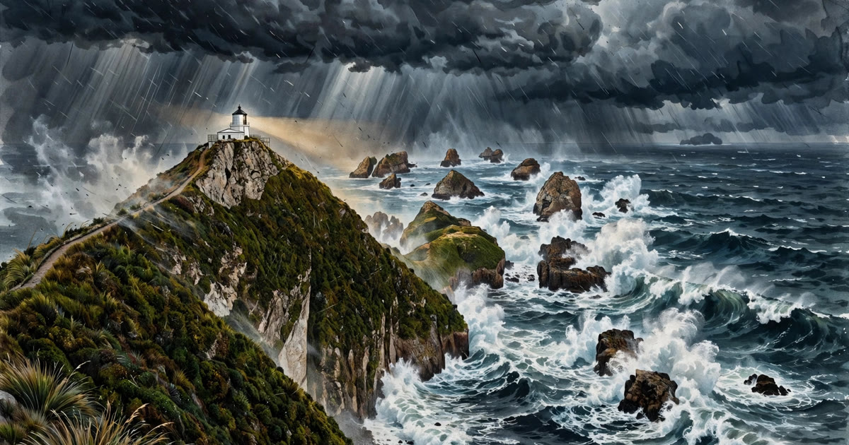
New Zealand weather warnings are something every resident and visitor should understand before heading outdoors, because the country's weather can change with remarkable speed. Two islands stretched across the roaring forties, with mountains that wring rain from every passing front, produce severe wind, heavy rain, snow and coastal swells — sometimes all in one weekend. Add New Zealand's position on the Pacific Ring of Fire, and tsunami alerts become a separate, equally important warning system to know.
This guide explains New Zealand weather warnings from the official source, MetService, including the colour-coded severity levels, what wind, rain and snow warnings mean in practice, and how tsunami warnings work through a different system entirely. Use it as your framework, and always check the live warnings before travelling — conditions in New Zealand can deteriorate faster than forecasts suggest.
New Zealand Weather Warnings: MetService and the Colour Levels
MetService is New Zealand's official weather service and the authoritative source for New Zealand weather warnings, publishing forecasts, severe-weather outlooks, watches and warnings on its website and app. The system works in stages: an outlook flags the potential for severe weather days ahead, a watch means severe weather is possible and conditions should be monitored, and a warning means severe weather is expected or occurring and action should be taken. Warnings are issued for specific regions and time periods, so a warning for Westland does not necessarily apply to Canterbury, and the details matter.
New Zealand weather warnings use colour levels to communicate severity: yellow indicates severe weather is possible or expected at a lower level of impact, orange indicates significant impacts are expected and people should take action, and red — reserved for the most extreme events — indicates that immediate action is needed because the weather poses a threat to life and property. A red warning is rare and serious: it has been issued for events such as ex-tropical cyclones bringing widespread flooding and destructive winds. When a red warning covers your area, follow Civil Defence instructions, avoid travel and prepare for disruption to power, roads and communications.
New Zealand Weather Warnings: Wind, Rain and Snow
Wind is one of the most common triggers for New Zealand weather warnings, especially in Wellington — famously one of the world's windiest cities — and in exposed coastal and mountain areas. Severe wind warnings typically relate to gale or storm-force gusts that can bring down trees and power lines, damage roofs and make driving dangerous, particularly for high-sided vehicles, campervans and motorcyclists. If a severe wind warning is in force, secure outdoor items, avoid walking near trees and construction sites, and postpone travel on exposed roads and bridges, which may close to certain vehicles.
Heavy rain warnings are equally important in New Zealand weather warnings, because the country's steep terrain turns intense rainfall into flooding and slips quickly. MetService heavy-rain warnings specify expected rainfall amounts and durations, and regional councils and Civil Defence add river-level and road-closure information. Never drive through floodwater — a surprisingly shallow depth can sweep a vehicle away — and avoid walking near swollen rivers and streams. Snow warnings affect the South Island high country and central North Island in winter, closing alpine passes such as the Lewis, Arthur's and Milford roads, so check road conditions with the transport agency before any mountain journey.
New Zealand Weather Warnings: Tsunami Alerts Explained
Tsunami alerts are separate from New Zealand weather warnings and come through a different system, because tsunamis are caused by earthquakes, landslides or volcanic activity, not weather. The National Emergency Management Agency and GNS Science assess tsunami threats after large earthquakes, and warnings are broadcast through emergency mobile alerts, radio, television, sirens in some areas and official social-media channels. The key messages are graded: a beach and marine threat means stay out of the water and away from beaches and estuaries, while a land threat means evacuate inland or to high ground immediately.
The most important tsunami rule in New Zealand is the long-or-strong rule: if an earthquake is long (shaking for more than a minute) or strong (hard to stand up), move immediately to high ground or inland on foot — do not wait for an official warning, which may take time to arrive. Know your tsunami evacuation zone before visiting coastal areas: blue lines on roads in many towns mark the edge of the evacuation zone, and Civil Defence maps show safe areas. Tsunami waves can arrive for hours after the first, so do not return to the coast until the official all-clear is given.
New Zealand Weather Warnings: Storms, Cyclones and Flooding
Ex-tropical cyclones are the events that produce the most serious New Zealand weather warnings, as tropical storms from the Pacific weaken but still bring destructive winds and days of heavy rain to the North Island and upper South Island. Cyclone Gabrielle in 2023, which caused widespread flooding, slips and infrastructure damage, is a reminder of why red warnings exist and why early preparation matters. When a cyclone approaches, MetService tracks its path days ahead, and Civil Defence advice typically includes securing property, stocking water, food and medicines, charging devices, and knowing your evacuation route.
Flooding during New Zealand weather warnings often affects rural roads, bridges and low-lying communities first, and can isolate towns for days. Keep an emergency kit at home and in your vehicle, know how to find your local Civil Defence information, and check on neighbours, particularly older people and those living alone. After a storm passes, avoid floodwater, which may be contaminated or hide hazards, stay away from damaged power lines, and follow official advice before returning to evacuated areas. The recovery phase of a severe weather event is often longer than the storm itself.
New Zealand Weather Warnings: Practical Tips for Travellers
For travellers, the best New Zealand weather warnings habit is a daily check of MetService for your route, not just your destination, since a South Island road trip can cross several weather regions in a day. Save the MetService app and your local Civil Defence information before you travel, enable emergency mobile alerts, and check road conditions before mountain passes and remote routes. If a warning covers your travel day, change plans early: rebook accommodation rather than driving into a red-warning area, and build buffer days into itineraries in the South Island and during cyclone season.
Packing for New Zealand weather warnings means layers, a waterproof jacket and sturdy shoes year-round, plus sun protection, since New Zealand's ultraviolet levels are high even on cloudy days. If you are hiking, check the forecast and track conditions with the Department of Conservation, tell someone your plans, and turn back if conditions worsen — the mountains will still be there tomorrow. A New Zealand weather warnings check takes two minutes and is the single highest-value habit for any trip in this beautiful but changeable country.
Sources: MetService New Zealand; National Emergency Management Agency; GNS Science; general guidance only — always check the latest official warnings and follow local Civil Defence instructions.
For the bigger picture behind severe weather, read what climate change is and the complete guide to climate change causes, effects and solutions.